
1956 Map of Ely
USGS Topo · Published 1968About this map
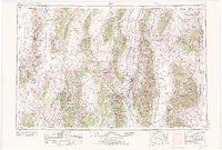
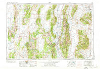
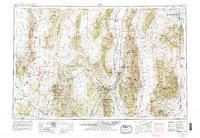
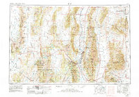
Ely and its neighboring industrial centers of Ruth and McGill anchor this mid-century look at eastern Nevada, where the High Desert landscape is defined by the massive north-south corridors of the Schell Creek Range and Egan Range. The map documents the mining heritage of the White Pine region, noting the Nevada Northern RR corridor and several noted mining districts.
Find a feature on this map
120 named features on this map. Tap any name to fly to it.
Don’t see what you’re looking for? This feature index may not catch every label — zoom into the map to look around manually.
Map Details
Editions of this 1956 Ely Map
5 editions found
Other maps of this area

1908 · Fish Springs
USGS Topo · 1:250,000

1910 · Fish Springs
USGS Topo · 1:250,000

1925 · Gold Hill
USGS Topo · 1:62,500

1926 · Roberts Mountains
USGS Topo · 1:250,000

1928 · Gold Hill
USGS Topo · 1:62,500

1929 · Roberts Mountains
USGS Topo · 1:250,000

1934 · Jiggs
USGS Topo · 1:125,000

1937 · Mineral Hill
USGS Topo · 1:48,000

1937 · Jiggs
USGS Topo · 1:125,000

1943 · Mineral Hill
USGS Topo · 1:62,500