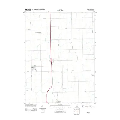
2012 Map of Emden
USGS Topo · Published 2012About this map
Emden and Hartsburg anchor this rural landscape in Logan County, where the grid of section-line roads reveals a highly organized agricultural interior. In the early 21st century, the area remains defined by its drainage systems and small-scale aviation, with Hobby Hideaway RLA Airport situated north of Armington RD. The land is dissected by Prairie Cr and Crane Cr, which wind through the township blocks and intersect a modern transit corridor. Local history is preserved at Patterson Cem near the western boundary, while the small settlement of Boynton sits further north along Boynton RD. The map detail captures the specific layout of village streets in Emden, including Lincoln ST and Main ST, alongside the numerous numbered avenues and county roads that facilitate the region's farming economy.
Find a feature on this map
54 named features on this map. Tap any name to fly to it.
Don’t see what you’re looking for? This feature index may not catch every label — zoom into the map to look around manually.
Map Details
Editions of this 2012 Emden Map
This is the sole edition of this map. No revisions or reprints were ever made.
Other maps of this area

1911 · Lincoln
USGS Topo · 1:62,500

1913 · Lincoln
USGS Topo · 1:62,500

1942 · Delavan
USGS Topo · 1:62,500

1948 · Mason City
USGS Topo · 1:62,500

1949 · Mason City
USGS Topo · 1:62,500

1951 · Minier
USGS Topo · 1:62,500

1958 · Peoria
USGS Topo · 1:250,000

1961 · Peoria
USGS Topo · 1:250,000

1963 · Peoria
USGS Topo · 1:250,000
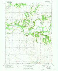
1971 · Delavan North
USGS Topo · 1:24,000