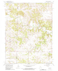
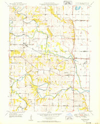
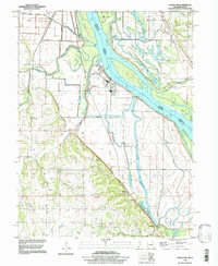
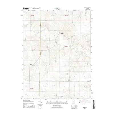
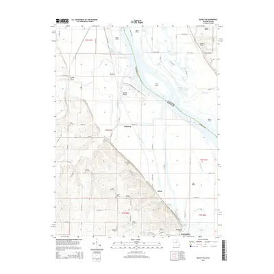
1964 Map of Emden
USGS Topo · Published 1984About this map
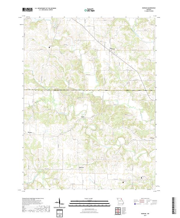
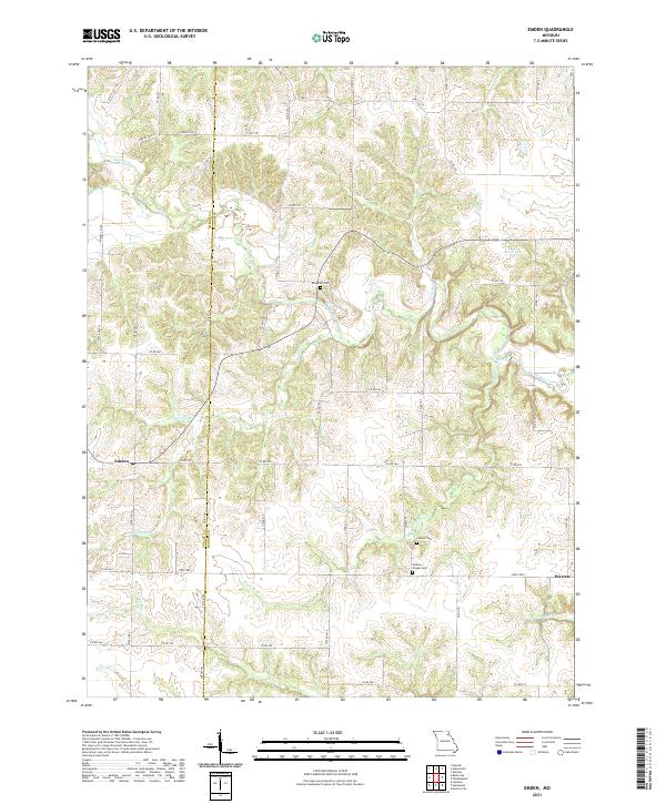
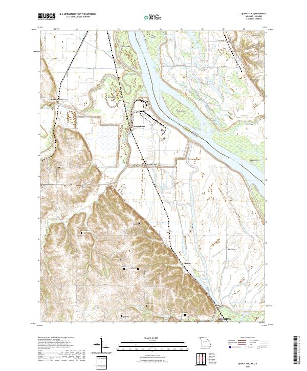
The North River meanders across this rural Northeast Missouri landscape, defining the topography of both Marion and Shelby counties during the early 1960s. The small settlement of Emden serves as a local hub, featuring the Emden Sch and the Emden Grange Park, indicating a community deeply rooted in its agricultural surroundings. To the southeast, the village of Warren marks the lower reaches of the map near Newmarket Br.
Find a feature on this map
21 named features on this map. Tap any name to fly to it.
Don’t see what you’re looking for? This feature index may not catch every label — zoom into the map to look around manually.
Map Details
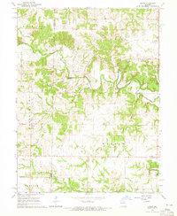
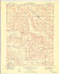
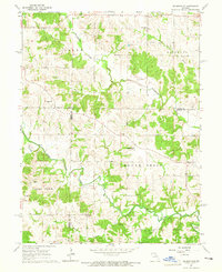
Editions of this 1964 Emden Map
2 editions found
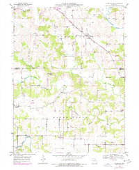
Historical Maps of Emden Through Time
33 maps found
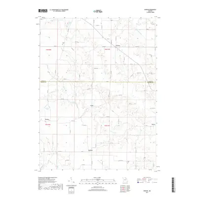
1949 Durham
Marion County, MO

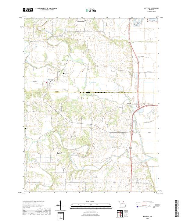
1949 Maywood
Marion County, MO
1950 Durham
Marion County, MO
1950 Maywood
Marion County, MO
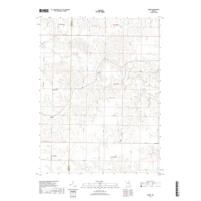
1964 Emden
Marion County, MO
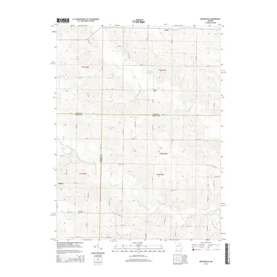
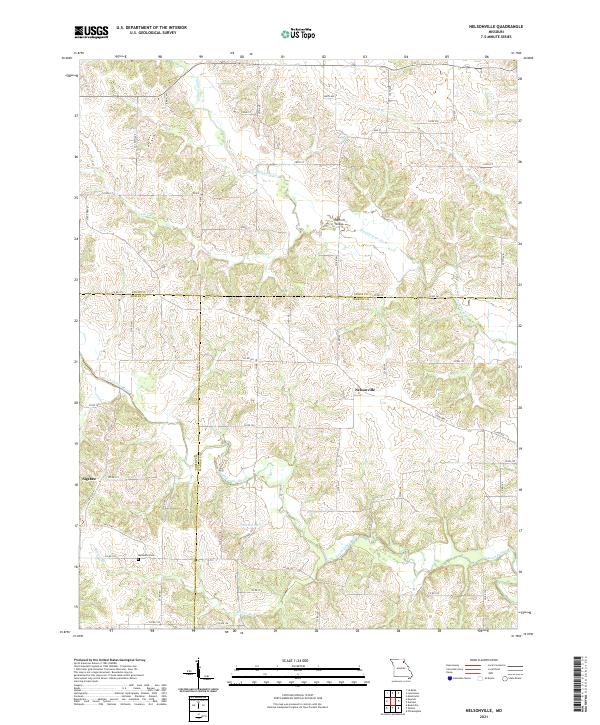
1964 Nelsonville
Marion County, MO
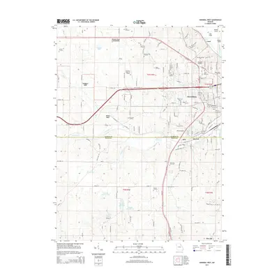
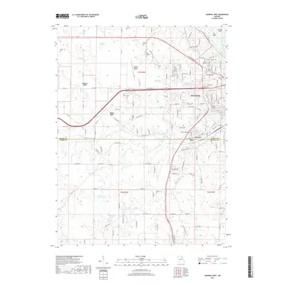
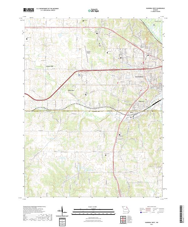
1971 Hannibal West
Marion County, MO
1971 Quincy SW
Marion County, MO
1996 Quincy SW
Marion County, MO
2012 Durham
Marion County, MO
2012 Emden
Marion County, MO
2012 Hannibal West
Marion County, MO
2012 Maywood
Marion County, MO
2012 Nelsonville
Marion County, MO
2012 Quincy SW
Marion County, MO
2014 Durham
Marion County, MO
2014 Emden
Marion County, MO
2014 Hannibal West
Marion County, MO
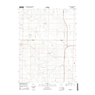
2014 Nelsonville
Marion County, MO
2015 Maywood
Marion County, MO
2015 Quincy SW
Marion County, MO
2017 Durham
Marion County, MO
2017 Emden
Marion County, MO
2017 Hannibal West
Marion County, MO
2017 Maywood
Marion County, MO
2017 Nelsonville
Marion County, MO
2017 Quincy SW
Marion County, MO
2021 Durham
Marion County, MO
2021 Emden
Marion County, MO
2021 Hannibal West
Marion County, MO
2021 Maywood
Marion County, MO
2021 Nelsonville
Marion County, MO
2021 Quincy SW
Marion County, MO