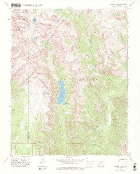
1973 Map of Emerald Lake
USGS Topo · Published 1984About this map
Emerald Lake and the smaller Little Emerald Lake lie at the heart of this high-elevation landscape within the San Juan National Forest. Surveyed in the early 1970s, the map reveals a wilderness dominated by steep drainage basins and sharp summits, including Mount Oso, Buffalo Peak, and Peters Peak. The drainage network is particularly detailed, showing the Los Pinos River flowing through the eastern reaches while Flint Creek and Lake Creek carve deep paths through the western slopes.
Find a feature on this map
37 named features on this map. Tap any name to fly to it.
Don’t see what you’re looking for? This feature index may not catch every label — zoom into the map to look around manually.
Map Details
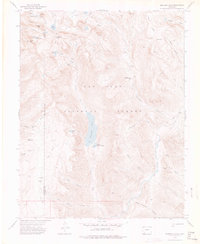
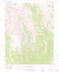
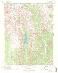
Editions of this 1973 Emerald Lake Map
4 editions found
Other maps of this area

1900 · Needle Mountains
USGS Topo · 1:62,500

1902 · Needle Mountains
USGS Topo · 1:62,500

1905 · San Cristobal
USGS Topo · 1:125,000

1907 · San Cristobal
USGS Topo · 1:125,000

1908 · Ignacio
USGS Topo · 1:125,000

1924 · Ignacio
USGS Topo · 1:125,000

1924 · Pagosa Springs
USGS Topo · 1:125,000

1927 · Pagosa Springs
USGS Topo · 1:125,000

1945 · Durango
USGS Topo · 1:250,000

1953 · Durango
USGS Topo · 1:250,000