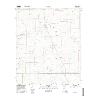
2017 Map of Emerson
USGS Topo · Published 2017About this map
The town of Emerson serves as a central hub in this Southern Arkansas landscape, situated just north of the Louisiana state line. The survey captures a transition between the rural settlements of Forest Grove and the southern village of Millerton, providing a look at the local infrastructure through a dense network of county roads like W Columbia Road 8 and Co Rd 420. Numerous family and community burial sites are documented throughout the quadrangle, including the Providence Cem, Elliott Cem, and the Forest Grove Cem near the town of the same name. The terrain is defined by the winding paths of Little Cypress Cr and its various branches, alongside other local waterways such as Otter Cr and Kings Cr. This 2017 data reflects the contemporary layout of Columbia County before the northern reaches of Louisiana’s Claiborne Parish.
Find a feature on this map
63 named features on this map. Tap any name to fly to it.
Don’t see what you’re looking for? This feature index may not catch every label — zoom into the map to look around manually.
Map Details
Editions of this 2017 Emerson Map
This is the sole edition of this map. No revisions or reprints were ever made.
Other maps of this area
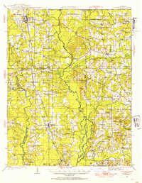
1922 · Sarepta
USGS Topo · 1:62,500
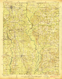
1924 · Sarepta
USGS Topo · 1:62,500
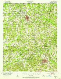
1952 · Homer
USGS Topo · 1:62,500

1953 · El Dorado
USGS Topo · 1:250,000
1955 · Shreveport
USGS Topo · 1:250,000
1956 · Shreveport
USGS Topo · 1:250,000
1956 · Sarepta
USGS Topo · 1:62,500
1957 · El Dorado
USGS Topo · 1:250,000
1958 · El Dorado
USGS Topo · 1:250,000
1960 · El Dorado
USGS Topo · 1:250,000