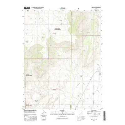
2017 Map of Emery West
USGS Topo · Published 2017About this map
Emery sits at the edge of the high desert and mountain slopes, serving as a gateway to the high elevations of the Wasatch Plateau. The landscape is defined by dramatic erosional features like the Water Hollow Benches and a network of deep incisions including Box Canyon and Wash Rock Canyon. This map captures the intersection of two major public lands, the Manti-Lasal National Forest and the Fishlake National Forest, where the terrain transitions from irrigated valley floors to timbered uplands. The drainage patterns of Quitchupah Cr and its various forks illustrate the complex hydrology required to support life in this arid region. For those researching the local community, the Emery Cem and the layout of the town's street grid, including Main St, provide essential data on the local settlement pattern.
Find a feature on this map
33 named features on this map. Tap any name to fly to it.
Don’t see what you’re looking for? This feature index may not catch every label — zoom into the map to look around manually.
Map Details
Editions of this 2017 Emery West Map
This is the sole edition of this map. No revisions or reprints were ever made.
Other maps of this area

1885 · Manti
USGS Topo · 1:250,000

1885 · Fish Lake
USGS Topo · 1:250,000

1895 · Manti
USGS Topo · 1:250,000

1896 · Fish Lake
USGS Topo · 1:250,000

1922 · Wasatch
USGS Topo · 1:31,680

1923 · Castle Dale
USGS Topo · 1:62,500

1925 · Castle Dale
USGS Topo · 1:62,500

1925 · Acord Lakes
USGS Topo · 1:62,500

1956 · Salina
USGS Topo · 1:250,000

1956 · Price
USGS Topo · 1:250,000