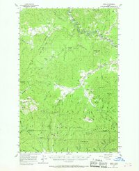
1957 Map of Emida
USGS Topo · Published 1968About this map
St Maries River and the Milwaukee Road corridor define the industrial and physical geography of this northern Idaho landscape during the late 1950s. The settlement of Emida serves as a central point in a region dominated by the St Joe National Forest and Coeur d'Alene National Forest. Small mountain settlements and work sites such as Lotus, West Dennis, and the former Hollywood location reflect the timber and transit-heavy economy of the era.
Find a feature on this map
83 named features on this map. Tap any name to fly to it.
Don’t see what you’re looking for? This feature index may not catch every label — zoom into the map to look around manually.
Map Details
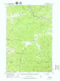
Editions of this 1957 Emida Map
3 editions found
Other maps of this area

1955 · Pullman
USGS Topo · 1:250,000

1955 · Spokane
USGS Topo · 1:250,000

1957 · St. Maries
USGS Topo · 1:62,500

1957 · Emida
USGS Topo · 1:62,500

1957 · Plummer
USGS Topo · 1:62,500

1957 · Tensed
USGS Topo · 1:62,500

1957 · St. Joe
USGS Topo · 1:62,500

1958 · Spokane
USGS Topo · 1:250,000

1958 · Pullman
USGS Topo · 1:250,000

1960 · Potlatch
USGS Topo · 1:62,500