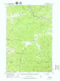
1957 Map of Emida
USGS Topo · Published 1979About this map
The St Joe River winds through the heart of this North Idaho timber landscape, tracked closely by the route of the Chicago Milwaukee St Paul and Pacific railroad. The settlement of Emida sits at a junction of mountain creeks, serving as a focal point for the surrounding Coeur D'Alene Nat Forest and St Joe Nat Forest. The map documents a rugged interior geography where logging and transit were the primary drivers of settlement, evidenced by the small community at Lotus and the identified Hollywood (Site). High peaks like Tyson Peak and East Dennis define the horizon, while the southern boundary marks the transition between Benewah and Latah Counties near the Hoodoo Mtns. Genealogists and historians will find interest in localized landmarks such as Cedar Grove Camp and the remote peaks of Baby Grand Mtn and Three Tree Butte.
Find a feature on this map
67 named features on this map. Tap any name to fly to it.
Don’t see what you’re looking for? This feature index may not catch every label — zoom into the map to look around manually.
Map Details
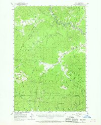
Editions of this 1957 Emida Map
3 editions found
Other maps of this area

1955 · Pullman
USGS Topo · 1:250,000

1955 · Spokane
USGS Topo · 1:250,000

1957 · St. Maries
USGS Topo · 1:62,500

1957 · Emida
USGS Topo · 1:62,500

1957 · Plummer
USGS Topo · 1:62,500

1957 · Tensed
USGS Topo · 1:62,500

1957 · St. Joe
USGS Topo · 1:62,500

1958 · Spokane
USGS Topo · 1:250,000

1958 · Pullman
USGS Topo · 1:250,000

1960 · Potlatch
USGS Topo · 1:62,500