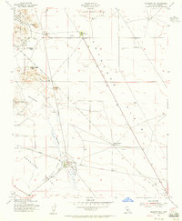
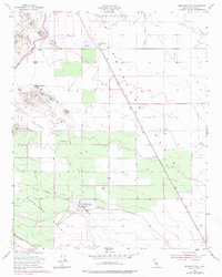
1953 Map of Emigrant Hill
USGS Topo · Published 1956About this map
Pyramid Hills and the Kettleman Hills frame the northern reaches of this mid-century survey, where the arid landscape of the San Joaquin Valley meets rugged upland formations. The map documents an era of industrial expansion into the high desert, marked by the operations at Temblor Pumping Sta and Junction Pumping Sta. These facilities, connected by a prominent Pipeline, underscore the region's reliance on managed water and energy infrastructure.
Find a feature on this map
25 named features on this map. Tap any name to fly to it.
Don’t see what you’re looking for? This feature index may not catch every label — zoom into the map to look around manually.
Map Details
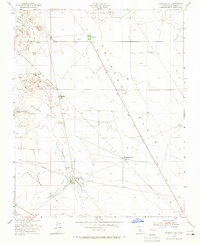
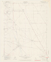
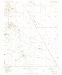
Editions of this 1953 Emigrant Hill Map
5 editions found
Other maps of this area

1914 · Lost Hills
USGS Topo · 1:125,000

1914 · Cholame
USGS Topo · 1:125,000

1915 · Cholame
USGS Topo · 1:125,000

1917 · Cholame
USGS Topo · 1:125,000

1930 · Avenal Gap
USGS Topo · 1:31,680

1932 · Antelope Plain
USGS Topo · 1:31,680

1932 · West Camp
USGS Topo · 1:31,680

1933 · Avenal Gap
USGS Topo · 1:31,680
1935 · West Camp
USGS Topo · 1:31,680
1936 · Antelope Plain
USGS Topo · 1:31,680