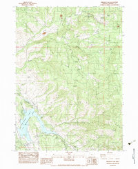
1983 Map of Emigrant Lake
USGS Topo · Published 1983About this map
Emigrant Lake serves as the focal point of this Jackson County landscape, where the waters of Emigrant Creek are managed by an intricate system of infrastructure including the Ashland Lateral and an inverted siphon. The 1980s terrain reflects a mix of high-altitude ranching and water resource management, evidenced by sites like the Walker Sheep Camp and the Barron Mine Water Tank. While recreation thrives at the Emigrant Lake Co Rec Area and Sanger Wayside, the surrounding ridges like Salt Ridge and Green Springs Mountain remain marked by a history of hard-scrabble land use. Genealogists and local historians can find traces of early settlement at the Henry Ranch, Cove Ranch, and the aptly named School House Meadow. High-country trails such as the Pacific Crest Natl Scenic Tr wind through the eastern peaks, crossing through Hooper Meadows and past Babe.
Find a feature on this map
71 named features on this map. Tap any name to fly to it.
Don’t see what you’re looking for? This feature index may not catch every label — zoom into the map to look around manually.
Map Details
Editions of this 1983 Emigrant Lake Map
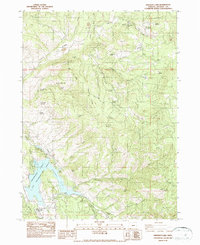
2 editions found
Other maps of this area

1891 · Ashland
USGS Topo · 1:250,000

1893 · Ashland
USGS Topo · 1:250,000

1897 · Ashland
USGS Topo · 1:250,000

1938 · Medford
USGS Topo · 1:125,000

1954 · Lakecreek
USGS Topo · 1:62,500

1954 · Ashland
USGS Topo · 1:62,500

1955 · Hyatt Reservoir
USGS Topo · 1:62,500

1955 · Mt. Mc Loughlin
USGS Topo · 1:62,500

1955 · Medford
USGS Topo · 1:250,000

1957 · Medford
USGS Topo · 1:250,000