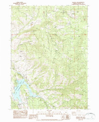
1983 Map of Emigrant Lake
USGS Topo · Published 1987About this map
Emigrant Lake serves as the central focal point for this 1983 Jackson County survey, where the Emigrant Lake Recreation Area borders complex ridgelines and upland pastures. The map details a landscape transition from the water's edge at Helms Cove and Songer Gap to the high elevations of Green Springs Mountain. Notable industrial and pastoral history is evident in the presence of the Barron Mine and the Walker Sheep Camp (Site), alongside family holdings like Cove Ranch and Henry Ranch.
Find a feature on this map
72 named features on this map. Tap any name to fly to it.
Don’t see what you’re looking for? This feature index may not catch every label — zoom into the map to look around manually.
Map Details
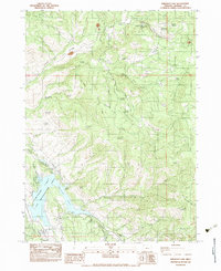
Editions of this 1983 Emigrant Lake Map
2 editions found
Other maps of this area

1891 · Ashland
USGS Topo · 1:250,000

1893 · Ashland
USGS Topo · 1:250,000

1897 · Ashland
USGS Topo · 1:250,000

1938 · Medford
USGS Topo · 1:125,000

1954 · Lakecreek
USGS Topo · 1:62,500

1954 · Ashland
USGS Topo · 1:62,500

1955 · Hyatt Reservoir
USGS Topo · 1:62,500

1955 · Mt. Mc Loughlin
USGS Topo · 1:62,500

1955 · Medford
USGS Topo · 1:250,000

1957 · Medford
USGS Topo · 1:250,000