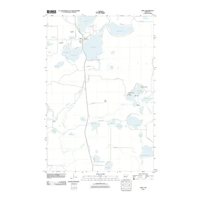
2010 Map of Emily
USGS Topo · Published 2010About this map
Emily sits at the heart of this lake-strewn landscape, serving as a hub for local commerce and recreation in northern Crow Wing County. The settlement is anchored by the Emily Post Office and nearby community assets like the Emily Greens Golf Course and the Lake Emily Resort and Campground. The terrain is defined by a dense network of water bodies, with the Little Pine River and Mud Brook connecting numerous basins, including Emily Lake, Lake Mary, and Island Lake. Local infrastructure is evident through features such as the Emily Lake Dam and Island Lake Dam, while the Emily Lookout Tower stands as a prominent landmark on the high ground south of the town center. Genealogists will find interest in the documented locations of Pine Ridge Cemetery and Fairfield Cemetery, which provide geographical context for the area's early families and rural neighborhoods.
Find a feature on this map
62 named features on this map. Tap any name to fly to it.
Don’t see what you’re looking for? This feature index may not catch every label — zoom into the map to look around manually.
Map Details
Editions of this 2010 Emily Map
This is the sole edition of this map. No revisions or reprints were ever made.
Other maps of this area

1913 · Cuyuna
USGS Topo · 1:62,500

1915 · Cuyuna
USGS Topo · 1:62,500

1953 · Duluth
USGS Topo · 1:250,000

1953 · Brainerd
USGS Topo · 1:250,000

1957 · Brainerd
USGS Topo · 1:250,000

1958 · Brainerd
USGS Topo · 1:250,000

1958 · Duluth
USGS Topo · 1:250,000

1959 · Trommald
USGS Topo · 1:24,000

1960 · Cross Lake
USGS Topo · 1:24,000

1965 · Brainerd
USGS Topo · 1:250,000