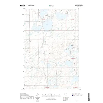
2019 Map of Emily
USGS Topo · Published 2019About this map
Emily serves as the central hub of this lake-strewn landscape, where residential development is concentrated along the shorelines of Ruth Lake, Lake Mary, and the expansive Lake Emily. The township lines of T138N, T137N, and T136N intersect here, revealing a region defined by its complex hydrology and glacial remnants. The Little Pine River meanders southward through the center of the quadrangle, connecting various smaller basins and wetlands like Bailey Bog.
Find a feature on this map
83 named features on this map. Tap any name to fly to it.
Don’t see what you’re looking for? This feature index may not catch every label — zoom into the map to look around manually.
Map Details
Editions of this 2019 Emily Map
This is the sole edition of this map. No revisions or reprints were ever made.
Other maps of this area
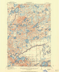
1913 · Cuyuna
USGS Topo · 1:62,500
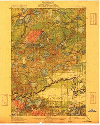
1915 · Cuyuna
USGS Topo · 1:62,500
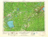
1953 · Duluth
USGS Topo · 1:250,000
1953 · Brainerd
USGS Topo · 1:250,000
1957 · Brainerd
USGS Topo · 1:250,000
1958 · Brainerd
USGS Topo · 1:250,000
1958 · Duluth
USGS Topo · 1:250,000
1959 · Trommald
USGS Topo · 1:24,000
1960 · Cross Lake
USGS Topo · 1:24,000
1965 · Brainerd
USGS Topo · 1:250,000