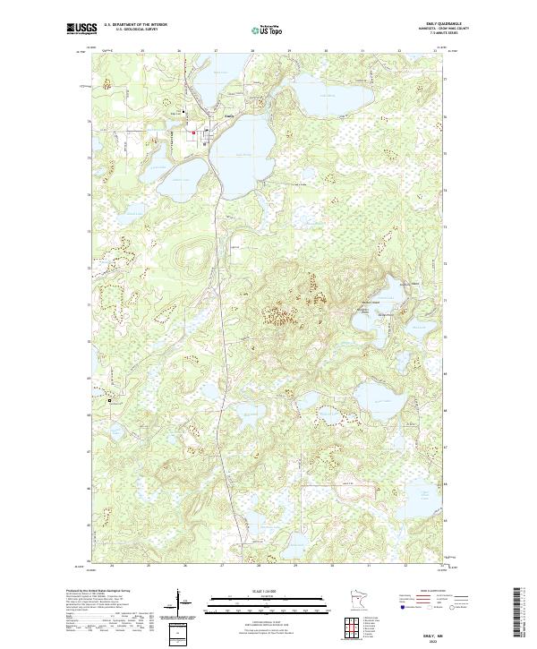
2022 Map of Emily
USGS Topo · Published 2022About this map
The settlement of Emily serves as the central hub of this lakeside landscape, positioned at the convergence of Co Hwy 1 and Emily-Outing Trl. The geography is defined by a dense network of glacial water bodies and interconnecting streams, including the expansive Lake Emily, Ruth Lake, and the meandering Little Pine River. These waters created a complex shoreline of named features such as Ministers Point and Lookums Island, illustrating the long-standing recreational and residential character of the area. For those tracing local heritage, the map identifies significant sites like the Pine Ridge Cem and the more southern Fairfield Cem. The transition from established town roads to forest routes like Fletcher Rd and Tower Rd reflects the shift from community life into the surrounding Minnesota woods and wetlands, including the protected Bailey Bog.
Find a feature on this map
80 named features on this map. Tap any name to fly to it.
Don’t see what you’re looking for? This feature index may not catch every label — zoom into the map to look around manually.
Map Details
Editions of this 2022 Emily Map
This is the sole edition of this map. No revisions or reprints were ever made.
Other maps of this area

1913 · Cuyuna
USGS Topo · 1:62,500

1915 · Cuyuna
USGS Topo · 1:62,500

1953 · Duluth
USGS Topo · 1:250,000

1953 · Brainerd
USGS Topo · 1:250,000

1957 · Brainerd
USGS Topo · 1:250,000

1958 · Brainerd
USGS Topo · 1:250,000

1958 · Duluth
USGS Topo · 1:250,000

1959 · Trommald
USGS Topo · 1:24,000

1960 · Cross Lake
USGS Topo · 1:24,000

1965 · Brainerd
USGS Topo · 1:250,000