
1956 Map of Emory
USGS Topo · Published 1957About this map
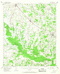
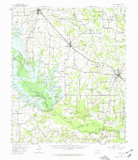
The Clear Fork Sabine River and Lake Fork Creek dominate this mid-century landscape in Rains County, captured just as the local infrastructure was poised for significant change. Most notably, the map identifies the Iron Bridge Damsite along the Sabine River, a marker of the upcoming creation of Lake Tawakoni. The rail-and-road network is anchored by the St Louis Southwestern railroad, which links the towns of Lone Oak, Point, and Emory.
Find a feature on this map
116 named features on this map. Tap any name to fly to it.
Don’t see what you’re looking for? This feature index may not catch every label — zoom into the map to look around manually.
Map Details
Editions of this 1956 Emory Map
3 editions found
Other maps of this area

1953 · Texarkana
USGS Topo · 1:250,000

1954 · Dallas
USGS Topo · 1:250,000

1954 · Sherman
USGS Topo · 1:250,000

1956 · Texarkana
USGS Topo · 1:250,000

1956 · Tyler
USGS Topo · 1:250,000

1956 · Quinlan
USGS Topo · 1:62,500

1958 · Dallas
USGS Topo · 1:250,000

1958 · Sherman
USGS Topo · 1:250,000

1958 · Arbala
USGS Topo · 1:24,000

1958 · Alba
USGS Topo · 1:24,000