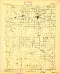
1894 Map of Emporia
USGS Topo · Published 1894About this map
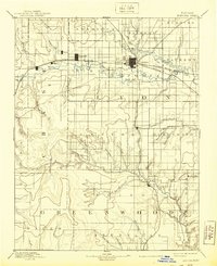
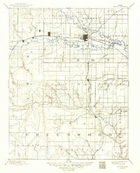
Emporia serves as the central hub of this 1885 survey, positioned at the critical junction where the Neosho River and Cottonwood River converge. The landscape is defined by a dense network of steam transportation, with the Atchison Topeka and Santa Fe Railroad and the Missouri Pacific Railroad radiating from the city center to connect smaller outposts like Plymouth, Safford, and Elinor.
Find a feature on this map
60 named features on this map. Tap any name to fly to it.
Don’t see what you’re looking for? This feature index may not catch every label — zoom into the map to look around manually.
Map Details
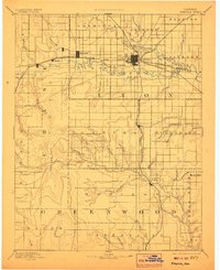
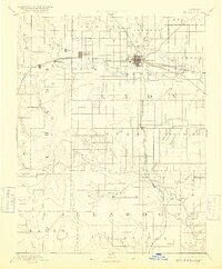
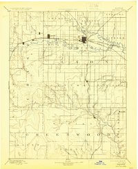
Editions of this 1894 Emporia Map
7 editions found

Other maps of this area

1885 · Eskridge
USGS Topo · 1:125,000

1885 · Burlington
USGS Topo · 1:125,000

1885 · Eureka
USGS Topo · 1:125,000

1886 · Fredonia
USGS Topo · 1:125,000

1888 · Emporia
USGS Topo · 1:125,000

1888 · Eureka
USGS Topo · 1:125,000

1888 · Eldorado
USGS Topo · 1:125,000

1889 · Burlingame
USGS Topo · 1:125,000

1889 · Parkerville
USGS Topo · 1:125,000

1889 · Eskridge
USGS Topo · 1:125,000