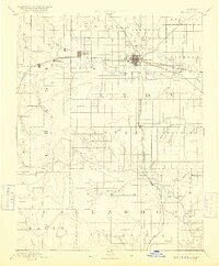
1894 Map of Emporia
USGS Topo · Published 1916About this map
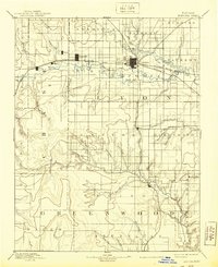
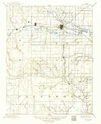
Emporia stands as the central hub of this Kansas landscape, situated at the strategic confluence of the Neosho River and the Cottonwood River. The map illustrates a critical era of rail development, where the Atchison Topeka and Santa Fe Railroad and the Missouri Pacific Railroad intersect, anchoring the region's economy and movement. Smaller settlements like Toledo, Plymouth, and Safford dot the western reaches, while the southeastern corner is defined by the headwaters of the Verdigris River near Madison. The landscape is a network of township boundaries such as Americus, Elmendar o, and Shell Rock, reflecting the systematic grid of early prairie settlement. This 1885 survey, published in the 1890s, provides an early look at the drainage patterns of dozens of local waterways, including Taylor Creek and Badger Creek, before the maturation of many regional county roads.
Find a feature on this map
60 named features on this map. Tap any name to fly to it.
Don’t see what you’re looking for? This feature index may not catch every label — zoom into the map to look around manually.
Map Details
Editions of this 1894 Emporia Map
7 editions found

Other maps of this area

1885 · Eskridge
USGS Topo · 1:125,000

1885 · Burlington
USGS Topo · 1:125,000

1885 · Eureka
USGS Topo · 1:125,000

1886 · Fredonia
USGS Topo · 1:125,000

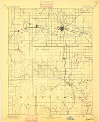
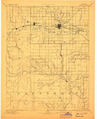
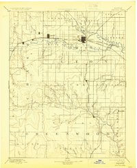
1888 · Emporia
USGS Topo · 1:125,000

1888 · Eureka
USGS Topo · 1:125,000

1888 · Eldorado
USGS Topo · 1:125,000

1889 · Burlingame
USGS Topo · 1:125,000

1889 · Parkerville
USGS Topo · 1:125,000

1889 · Eskridge
USGS Topo · 1:125,000