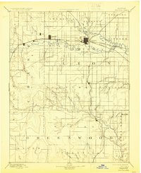
1894 Map of Emporia
USGS Topo · Published 1924About this map
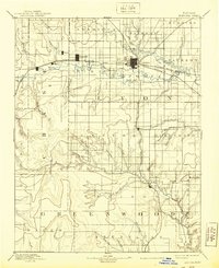
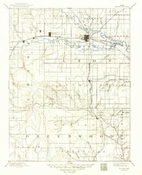
Emporia stands as the central hub of this late-nineteenth-century landscape, positioned at the confluence where the Neosho River meets the Cottonwood River. The town is the junction for a sophisticated transportation network, featuring the Atchison Topeka and Santa Fe Railroad and the Missouri Pacific Railroad. This industrial growth is balanced against the rural structure of Lyon and Greenwood counties, where small agricultural settlements like Toledo and Plymouth follow the rail lines westward. To the south, the landscape transitions into the rolling drainage basins of Madison and Lena Valley, where numerous named creeks such as School Branch and Bernard Branch defined the early boundaries of Centre and Janesville townships. The map illustrates a pivotal moment of Kansas development, showing the transition from river-bottom farming to a rail-centered economy.
Find a feature on this map
59 named features on this map. Tap any name to fly to it.
Don’t see what you’re looking for? This feature index may not catch every label — zoom into the map to look around manually.
Map Details
Editions of this 1894 Emporia Map
7 editions found

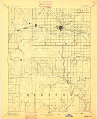
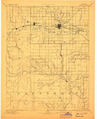
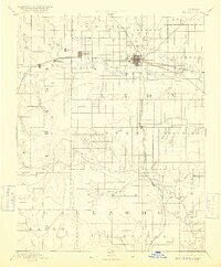
Other maps of this area

1885 · Eskridge
USGS Topo · 1:125,000

1885 · Burlington
USGS Topo · 1:125,000

1885 · Eureka
USGS Topo · 1:125,000

1886 · Fredonia
USGS Topo · 1:125,000

1888 · Emporia
USGS Topo · 1:125,000

1888 · Eureka
USGS Topo · 1:125,000

1888 · Eldorado
USGS Topo · 1:125,000

1889 · Burlingame
USGS Topo · 1:125,000

1889 · Parkerville
USGS Topo · 1:125,000

1889 · Eskridge
USGS Topo · 1:125,000