
1894 Map of Emporia
USGS Topo · Published 1894About this map
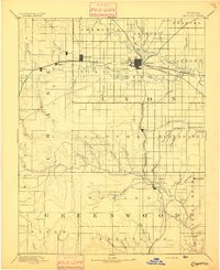
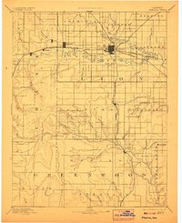
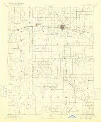
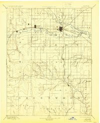
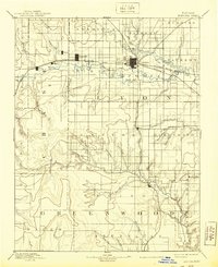
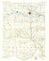
Emporia stands as a significant regional hub at the confluence of the Neosho River and the Cottonwood River, serving as a vital rail junction in the late nineteenth century. This survey, conducted by R.U. Goode and E.T. Perkins Jr., reveals a landscape defined by its burgeoning transit network, where the Atchison Topeka and Santa Fe Railroad intersects with the Missouri Pacific Railroad and the Southern Kansas Railroad.
Find a feature on this map
57 named features on this map. Tap any name to fly to it.
Don’t see what you’re looking for? This feature index may not catch every label — zoom into the map to look around manually.
Map Details
Editions of this 1894 Emporia Map
7 editions found
Other maps of this area

1885 · Eskridge
USGS Topo · 1:125,000

1885 · Burlington
USGS Topo · 1:125,000

1885 · Eureka
USGS Topo · 1:125,000

1886 · Fredonia
USGS Topo · 1:125,000

1888 · Emporia
USGS Topo · 1:125,000

1888 · Eureka
USGS Topo · 1:125,000

1888 · Eldorado
USGS Topo · 1:125,000

1889 · Burlingame
USGS Topo · 1:125,000

1889 · Parkerville
USGS Topo · 1:125,000

1889 · Eskridge
USGS Topo · 1:125,000