
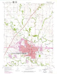
1957 Map of Emporia
USGS Topo · Published 1958About this map
The Neosho River and Cottonwood River frame the landscape of central Kansas in the late 1950s, highlighting a period of significant educational and infrastructure growth. This era shows Emporia as a sophisticated regional hub, home to both the Kansas State Teachers College and the College of Emporia. The arrival of the modern Kansas Turnpike with its Emporia Interchange cuts diagonally across the prairie, contrasting with the dense network of the Atchison Topeka and Santa Fe and Missouri Kansas Texas railroads. Local community life is deeply detailed through numerous neighborhood institutions like St Catherine Sch, Maynard Sch, and the County Fairground. The map traces the winding paths of Allen Creek and Troublesome Creek, while the city’s residential expansion is evidenced by the established Peter Pan Park and Fremont Park.
Find a feature on this map
45 named features on this map. Tap any name to fly to it.
Don’t see what you’re looking for? This feature index may not catch every label — zoom into the map to look around manually.
Map Details
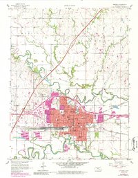
Editions of this 1957 Emporia Map
3 editions found
Other maps of this area

1885 · Eskridge
USGS Topo · 1:125,000

1888 · Emporia
USGS Topo · 1:125,000

1889 · Eskridge
USGS Topo · 1:125,000

1894 · Emporia
USGS Topo · 1:125,000

1894 · Eskridge
USGS Topo · 1:125,000

1955 · Hutchinson
USGS Topo · 1:250,000

1957 · Lang
USGS Topo · 1:24,000

1957 · Plymouth
USGS Topo · 1:24,000

1959 · Hutchinson
USGS Topo · 1:250,000
1972 · Allen SW
USGS Topo · 1:24,000