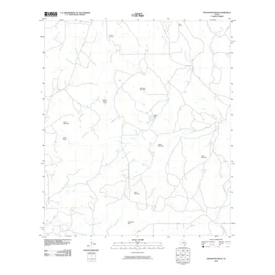
2010 Map of Enchanted Rock
USGS Topo · Published 2010About this map
Enchanted Rock stands as the central landmark of this Texas Hill Country landscape, surrounded by a complex network of drainage basins and prominent granite domes. The terrain is defined by a series of significant elevations including Bullhead Mountain, Dutch Mountain, and Graze Mountain, which channel numerous seasonal waterways like Sandy Creek and Crabapple Creek. The presence of Silvermine Creek and Goldmine Creek hints at the region's mineral history, while family names preserved at Rossberg Cemetery and Moss Cemetery offer vital points of reference for genealogists. This 2010 survey illustrates the rural infrastructure of the area, from the McDavid Ranch Airport in the west to Ratliff Dam along the upper reaches of Helms Creek. The road network is primarily composed of ranch-to-market routes like FM 965 and FM 2323, which weave through the hills to connect these scattered points of settlement and natural springs such as Honey Spring and Walnut Spring.
Find a feature on this map
33 named features on this map. Tap any name to fly to it.
Don’t see what you’re looking for? This feature index may not catch every label — zoom into the map to look around manually.
Map Details
Editions of this 2010 Enchanted Rock Map
This is the sole edition of this map. No revisions or reprints were ever made.
Other maps of this area

1887 · Llano
USGS Topo · 1:125,000

1894 · Fredericksburg
USGS Topo · 1:125,000

1894 · Llano
USGS Topo · 1:125,000

1904 · Llano
USGS Topo · 1:125,000

1909 · Llano
USGS Topo · 1:125,000

1918 · Llano
USGS Topo · 1:125,000

1954 · Llano
USGS Topo · 1:250,000

1955 · Llano
USGS Topo · 1:250,000

1956 · Llano
USGS Topo · 1:250,000
1960 · Scotts Crossing
USGS Topo · 1:24,000