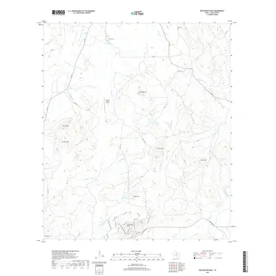
2019 Map of Enchanted Rock
USGS Topo · Published 2019About this map
Enchanted Rock stands as the central landmark of this Texas Hill Country terrain, surrounded by a complex network of trails such as the Loop Trail, Summit Trail, and Echo Canyon Trail. The landscape is defined by its massive granite domes and prominent peaks, including Bullhead Mtn and Dutch Mtn. For genealogists and local historians, the sheet preserves the locations of Rossberg Cem near Bullhead Cr and Moss Cem to the northeast. Transportation and aviation are represented by the rural corridor of Ranch Rd 965 and the remote Mc David Ranch Airport. Water sources like Honey Spring and Walnut Spring indicate the critical role of groundwater in this arid region, feeding into various drainages like Sandy Cr and Crabapple Cr.
Find a feature on this map
43 named features on this map. Tap any name to fly to it.
Don’t see what you’re looking for? This feature index may not catch every label — zoom into the map to look around manually.
Map Details
Editions of this 2019 Enchanted Rock Map
This is the sole edition of this map. No revisions or reprints were ever made.
Other maps of this area
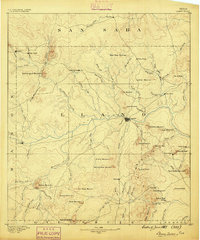
1887 · Llano
USGS Topo · 1:125,000
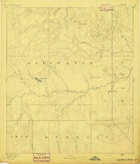
1894 · Fredericksburg
USGS Topo · 1:125,000
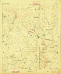
1894 · Llano
USGS Topo · 1:125,000
1904 · Llano
USGS Topo · 1:125,000
1909 · Llano
USGS Topo · 1:125,000
1918 · Llano
USGS Topo · 1:125,000
1954 · Llano
USGS Topo · 1:250,000
1955 · Llano
USGS Topo · 1:250,000
1956 · Llano
USGS Topo · 1:250,000
1960 · Scotts Crossing
USGS Topo · 1:24,000