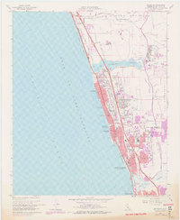
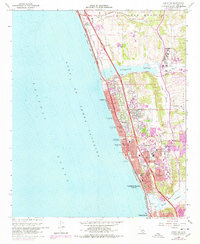
1968 Map of Encinitas
USGS Topo · Published 1978About this map
Coastal development along the Gulf of Santa Catalina is the defining characteristic of this North County San Diego region. The expansion of residential and commercial districts is evident in Leucadia, Encinitas, and Cardiff-by-the-Sea, where suburban growth is concentrated between the Atchison Topeka and Santa Fe railroad and the San Diego Freeway. Large undeveloped areas still surround the Batiquitos Lagoon and San Elijo Lagoon, providing a sharp contrast to the dense urbanization of the shoreline. Notable local institutions include the San Dieguito Union High School and Quail Park Botanical Garden, which sit inland from the popular coastal strips of Moonlight State Beach and Ponto State Beach. This 1960s survey, with later 1975 photogrammetric updates, captures the transition of these beach towns into a cohesive suburban corridor during a period of rapid Southern California growth.
Find a feature on this map
43 named features on this map. Tap any name to fly to it.
Don’t see what you’re looking for? This feature index may not catch every label — zoom into the map to look around manually.
Map Details
Editions of this 1968 Encinitas Map
5 editions found
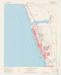
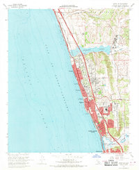
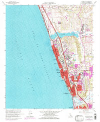
Other maps of this area

1893 · Oceanside
USGS Topo · 1:62,500

1893 · Escondido
USGS Topo · 1:62,500

1898 · Oceanside
USGS Topo · 1:62,500

1901 · Escondido
USGS Topo · 1:62,500

1901 · Oceanside
USGS Topo · 1:62,500

1901 · San Luis Rey
USGS Topo · 1:125,000

1903 · La Jolla
USGS Topo · 1:62,500

1904 · Southern California Sheet No. 2
USGS Topo · 1:250,000

1930 · La Jolla
USGS Topo · 1:62,500
1942 · Oceanside
USGS Topo · 1:62,500