Loading...
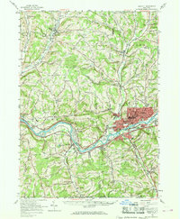
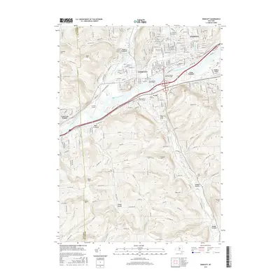
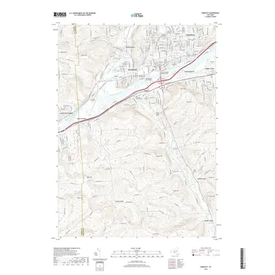
Loading map...1956 Map of Endicott
USGS Topo · Published 1968About this map
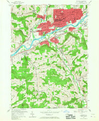
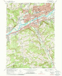
Industrial development and suburban growth define the corridor along the Susquehanna River in the mid-1950s. The urban centers of Endicott and Endwell are densely detailed, showing the expansion of Harpur College and the layout of the En-Joie Golf Course. This landscape is a hub of mid-century transportation, where the Erie Lackawanna RR and Delaware Lackawanna and Western RR parallel the river, supporting the region's manufacturing base.
Find a feature on this map
86 named features on this map. Tap any name to fly to it.
Don’t see what you’re looking for? This feature index may not catch every label — zoom into the map to look around manually.
Map Details
Date Portrayed1956
Date Published1968
PublisherU.S. Geological Survey
Map TypeTopographic
Scale1:62,500
Physical Dimensions17 x 20.7 inches
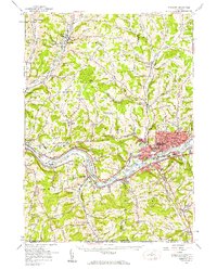
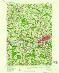
Editions of this 1956 Endicott Map
4 editions found
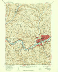
Historical Maps of Union Through Time
8 maps found

Featured Locations
Source Details
SourceU.S. Geological Survey
CopyrightPublic Domain