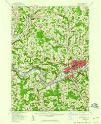
1956 Map of Endicott
USGS Topo · Published 1960About this map
The Susquehanna River anchors this mid-century landscape, carving a wide valley that serves as the primary corridor for industry and transportation. The urban core of Endicott and Endwell shows significant development, featuring the campus of Harpur College and the En-Joie Golf Course. This industrial hub is connected to the wider region by the Erie RR and Lackawanna RR, which parallel the riverbanks. To the north, the terrain transitions into a series of ridges and hollows, where smaller rural settlements like Newark Valley and Maine are situated along the Owego Creek and Nanticoke Creek drainages.
Find a feature on this map
69 named features on this map. Tap any name to fly to it.
Don’t see what you’re looking for? This feature index may not catch every label — zoom into the map to look around manually.
Map Details
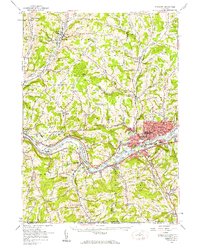
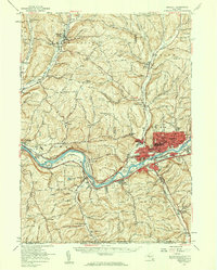
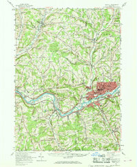
Editions of this 1956 Endicott Map
4 editions found
Other maps of this area

1900 · Dryden
USGS Topo · 1:62,500

1901 · Apalachin
USGS Topo · 1:62,500

1903 · Owego
USGS Topo · 1:62,500

1903 · Harford
USGS Topo · 1:62,500

1904 · Binghamton
USGS Topo · 1:62,500

1904 · Greene
USGS Topo · 1:62,500

1904 · Apalachin
USGS Topo · 1:62,500

1906 · Catatonk
USGS Topo · 1:125,000

1923 · Towanda
USGS Topo · 1:62,500

1926 · Towanda
USGS Topo · 1:62,500