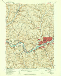
1956 Map of Endicott
USGS Topo · Published 1960About this map
The Susquehanna River valley serves as the industrial and transportation corridor for the Triple Cities region during the mid-1950s, anchored by the dense urban footprints of Endicott and Endwell. This survey reveals the transition from dense manufacturing and residential centers to the emerging suburbs of Vestal and Twin Orchard. Significant regional infrastructure is visible along the riverbanks, including the Tri-Cities Airport and the campus of Harpur College.
Find a feature on this map
87 named features on this map. Tap any name to fly to it.
Don’t see what you’re looking for? This feature index may not catch every label — zoom into the map to look around manually.
Map Details
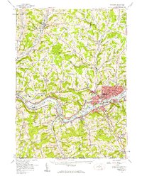
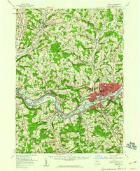
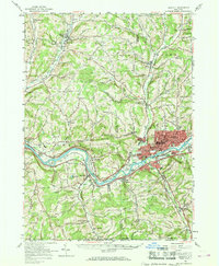
Editions of this 1956 Endicott Map
4 editions found
Other maps of this area

1900 · Dryden
USGS Topo · 1:62,500

1901 · Apalachin
USGS Topo · 1:62,500

1903 · Owego
USGS Topo · 1:62,500

1903 · Harford
USGS Topo · 1:62,500

1904 · Binghamton
USGS Topo · 1:62,500

1904 · Greene
USGS Topo · 1:62,500

1904 · Apalachin
USGS Topo · 1:62,500

1906 · Catatonk
USGS Topo · 1:125,000

1923 · Towanda
USGS Topo · 1:62,500

1926 · Towanda
USGS Topo · 1:62,500