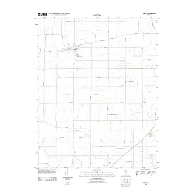
2012 Map of Enfield
USGS Topo · Published 2012About this map
The village of Enfield serves as the primary hub in this portion of White County, situated at a key intersection of regional roads and defined by its grid of residential streets including W Main St and E Hosick St. The surrounding countryside is a landscape of agricultural utility and extraction, marked by the Trumbull Oil Field and the Roland Oil Field. These industrial footprints contrast with the quiet rural character of nearby smaller settlements like Sacramento and Stokes, providing a clear picture of the local economy and land use during this era.
Find a feature on this map
69 named features on this map. Tap any name to fly to it.
Don’t see what you’re looking for? This feature index may not catch every label — zoom into the map to look around manually.
Map Details
Editions of this 2012 Enfield Map
This is the sole edition of this map. No revisions or reprints were ever made.
Other maps of this area

1905 · Eldorado
USGS Topo · 1:62,500

1905 · New Haven
USGS Topo · 1:62,500

1906 · New Haven
USGS Topo · 1:62,500

1906 · Eldorado
USGS Topo · 1:62,500

1940 · Carmi
USGS Topo · 1:62,500

1941 · Enfield
USGS Topo · 1:62,500

1943 · Carmi
USGS Topo · 1:62,500

1944 · Enfield
USGS Topo · 1:62,500

1949 · Paducah
USGS Topo · 1:250,000

1949 · New Haven
USGS Topo · 1:62,500