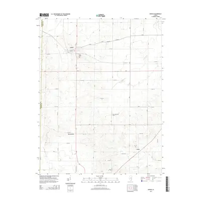
2015 Map of Enfield
USGS Topo · Published 2015About this map
Enfield serves as the primary hub in this southern Illinois landscape, situated at the junction of the north-south highway and the historic east-west corridor of W Main St. The settlement pattern reflects deep roots in the region, with the larger Enfield Village Cem and outlying sites like Rice Cem and Johnson Cem providing vital points of interest for genealogists tracing local families. The terrain is defined by a dense network of meandering waterways, including Sevenmile Cr and Lick Cr, which have shaped the agricultural grid and the placement of smaller communities such as Sacramento and Stokes. A unique addition to the rural landscape is the Storey Real Estate Airport, which sits among the contoured hills east of the main town, while the southern edge of the quadrangle is traced by the Indian Creek Trl.
Find a feature on this map
31 named features on this map. Tap any name to fly to it.
Don’t see what you’re looking for? This feature index may not catch every label — zoom into the map to look around manually.
Map Details
Editions of this 2015 Enfield Map
This is the sole edition of this map. No revisions or reprints were ever made.
Other maps of this area

1905 · Eldorado
USGS Topo · 1:62,500

1905 · New Haven
USGS Topo · 1:62,500

1906 · New Haven
USGS Topo · 1:62,500

1906 · Eldorado
USGS Topo · 1:62,500

1940 · Carmi
USGS Topo · 1:62,500

1941 · Enfield
USGS Topo · 1:62,500

1943 · Carmi
USGS Topo · 1:62,500

1944 · Enfield
USGS Topo · 1:62,500

1949 · Paducah
USGS Topo · 1:250,000

1949 · New Haven
USGS Topo · 1:62,500