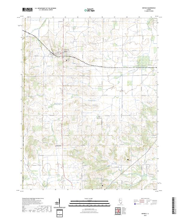
2024 Map of Enfield
USGS Topo · Published 2024About this map
Enfield serves as the primary hub in this northwestern portion of White County, located where the Hamilton Co and White Co line establishes the western boundary. The settlement pattern is defined by a dense grid of county roads that crisscross the agricultural landscape, including Co RD 1500 N and Co RD 200 E, which connect smaller locales like Sacramento. Waterways such as Sevenmile Creek and Lick Creek drain the low-lying terrain, providing natural boundaries between the expansive farm plots.
Find a feature on this map
53 named features on this map. Tap any name to fly to it.
Don’t see what you’re looking for? This feature index may not catch every label — zoom into the map to look around manually.
Map Details
Editions of this 2024 Enfield Map
This is the sole edition of this map. No revisions or reprints were ever made.
Other maps of this area

1905 · Eldorado
USGS Topo · 1:62,500

1905 · New Haven
USGS Topo · 1:62,500

1906 · New Haven
USGS Topo · 1:62,500

1906 · Eldorado
USGS Topo · 1:62,500

1940 · Carmi
USGS Topo · 1:62,500

1941 · Enfield
USGS Topo · 1:62,500

1943 · Carmi
USGS Topo · 1:62,500

1944 · Enfield
USGS Topo · 1:62,500

1949 · Paducah
USGS Topo · 1:250,000

1949 · New Haven
USGS Topo · 1:62,500