
1953 Map of Engelhard NW
USGS Topo · Published 1955About this map
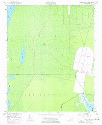
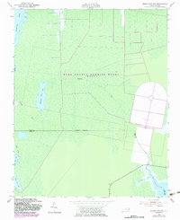
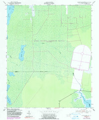
The coastal wetlands of the Croatan and Lake Landing regions dominate this mid-century coastal survey. Stretching across the Dare County and Hyde County boundary, the landscape is defined by an intricate network of dark-water lakes and winding tributaries. Notable water bodies such as Whipping Creek Lake and Swan Creek Lake are isolated within the interior marshes, connected to the larger coastal systems by the meandering Whipping Creek and Swan Creek. Along the northern edge, the Alligator River shows evidence of maritime activity with several piling structures and designated foul areas. To the southeast, the terrain transitions toward the Long Shoal River and Cumberland Creek, where a series of bench marks such as BM 1 and BM 4 (S) provide the only topographic fixed points in this low-lying territory, which rarely rises five feet above sea level.
Find a feature on this map
19 named features on this map. Tap any name to fly to it.
Don’t see what you’re looking for? This feature index may not catch every label — zoom into the map to look around manually.
Map Details
Editions of this 1953 Engelhard NW Map
4 editions found
Other maps of this area

1943 · Columbia
USGS Topo · 1:125,000

1943 · Roanoke Island
USGS Topo · 1:125,000

1951 · Engelhard West
USGS Topo · 1:24,000

1951 · Long Shoal Point
USGS Topo · 1:24,000

1951 · Engelhard East
USGS Topo · 1:24,000

1953 · Buffalo City
USGS Topo · 1:24,000

1953 · Fairfield NE
USGS Topo · 1:24,000

1953 · East Lake SE
USGS Topo · 1:24,000

1953 · Engelhard NE
USGS Topo · 1:24,000

1953 · Frying Pan
USGS Topo · 1:24,000