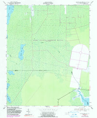
1953 Map of Engelhard NW
USGS Topo · Published 1991About this map
The Dare County Bombing Range (U S A F) dominates this coastal North Carolina landscape, reflecting the mid-century military footprint across the wetlands of the Outer Banks region. The terrain is characterized by an intricate network of waterways and low-lying marshes, where the Alligator River meets smaller, secluded basins like Whipping Creek Lake and Swan Creek Lake.
Find a feature on this map
15 named features on this map. Tap any name to fly to it.
Don’t see what you’re looking for? This feature index may not catch every label — zoom into the map to look around manually.
Map Details
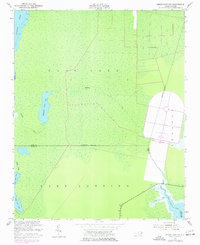
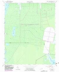
Editions of this 1953 Engelhard NW Map
4 editions found
Other maps of this area

1943 · Columbia
USGS Topo · 1:125,000

1943 · Roanoke Island
USGS Topo · 1:125,000

1951 · Engelhard West
USGS Topo · 1:24,000

1951 · Long Shoal Point
USGS Topo · 1:24,000

1951 · Engelhard East
USGS Topo · 1:24,000

1953 · Engelhard NW
USGS Topo · 1:24,000

1953 · Buffalo City
USGS Topo · 1:24,000

1953 · Fairfield NE
USGS Topo · 1:24,000

1953 · East Lake SE
USGS Topo · 1:24,000

1953 · Engelhard NE
USGS Topo · 1:24,000