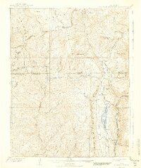
1908 Map of Engineer Mountain
USGS Topo · Published 1942About this map
Denver and Rio Grande RR tracks follow the steep contours of the Purgatory River and Animas River canyons, serving as a vital industrial artery through the San Juan National Forest. The landscape is dominated by high-altitude features like Engineer Mtn and Grayrock Peak, where early transportation routes are marked by the Old Tollgate and the Butler Trail. This area represents a transition from high mountain peaks to the managed waters of Electra Lake, which supports the Power House near Tacoma. Scattered ranching and early settlement footprints appear at Hamon's Ranch and Hermosa Park. The map captures the infrastructure of the late 19th-century mountain economy, including the Flume and railroad stop at Cascade Siding, which were essential for navigating the complex terrain of Coalbank Hill and the Needle Mountains.
Find a feature on this map
54 named features on this map. Tap any name to fly to it.
Don’t see what you’re looking for? This feature index may not catch every label — zoom into the map to look around manually.
Map Details
Editions of this 1908 Engineer Mountain Map
3 editions found

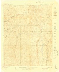
Other maps of this area

1895 · La Plata
USGS Topo · 1:62,500

1897 · La Plata
USGS Topo · 1:62,500

1897 · Rico
USGS Topo · 1:62,500

1897 · Telluride
USGS Topo · 1:62,500

1897 · Silverton
USGS Topo · 1:62,500

1898 · Durango
USGS Topo · 1:62,500

1898 · Engineer Mountain
USGS Topo · 1:62,500

1898 · Rico
USGS Topo · 1:62,500

1899 · La Plata
USGS Topo · 1:62,500

1899 · Rico
USGS Topo · 1:62,500