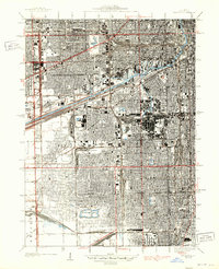
1929 Map of Englewood
USGS Topo · Published 1939About this map
Union Stock Yards and a dense network of industrial infrastructure dominate the South Side in the late 1920s. This survey, compiled from early Air Corps aerial photography, documents the transition of the landscape into a massive logistical hub. The Chicago Sanitary and Ship Canal and the Illinois and Michigan Canal run parallel through the heart of the district, flanked by vast railyards like the Corwith Yards and Clearing Yards. Residential grids surround neighborhoods such as Englewood and Morrell Park, revealing a cityscape defined by its proximity to work and transport. Numerous recreational spaces provide relief from the industrial intensity, including the large Marquette Park and Douglas Park, while the Hawthorne Race Track sits on the western edge near Stickney. This document preserves the intricate arrangement of streetcar-era city blocks, canal-side manufacturing, and the intensive rail junctions that fueled the region's growth.
Find a feature on this map
57 named features on this map. Tap any name to fly to it.
Don’t see what you’re looking for? This feature index may not catch every label — zoom into the map to look around manually.
Map Details
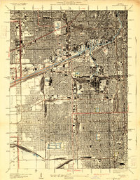
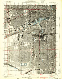
Editions of this 1929 Englewood Map
3 editions found
Other maps of this area

1889 · Chicago
USGS Topo · 1:62,500

1890 · Des Plaines
USGS Topo · 1:62,500

1891 · Chicago
USGS Topo · 1:62,500

1891 · Riverside
USGS Topo · 1:62,500

1892 · Calumet
USGS Topo · 1:62,500

1893 · Calumet
USGS Topo · 1:62,500

1893 · Riverside
USGS Topo · 1:62,500

1894 · Des Plaines
USGS Topo · 1:62,500

1900 · Chicago
USGS Topo · 1:62,500

1900 · Des Plaines
USGS Topo · 1:62,500