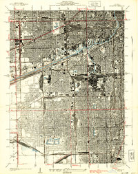
1929 Map of Englewood
USGS Topo · Published 1939About this map
The industrial and rail infrastructure of Chicago's south side dominates this 1926 survey, showcasing the dense network of lines like the Belt Railway of Chicago and Chicago and Alton Railroad that fueled the city's growth. Massive logistics hubs such as the Union Stock Yards, Corwith Yards, and Clearing Yards are mapped in detail, illustrating the intersection of maritime transport along the Chicago Sanitary and Ship Canal and the older Illinois and Michigan Canal. Residential pockets and social centers like Englewood and Stickney appear alongside a robust system of public parks, including Marquette Park and Douglas Park. The map documents a period where traditional river traffic on the South Branch Chicago River transitioned into the modern sanitary and shipping corridors that defined the era's urban planning and sanitation engineering.
Find a feature on this map
61 named features on this map. Tap any name to fly to it.
Don’t see what you’re looking for? This feature index may not catch every label — zoom into the map to look around manually.
Map Details
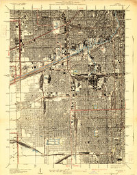
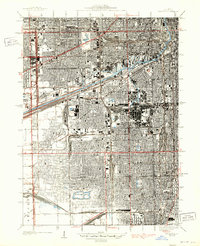
Editions of this 1929 Englewood Map
3 editions found
Other maps of this area

1889 · Chicago
USGS Topo · 1:62,500

1890 · Des Plaines
USGS Topo · 1:62,500

1891 · Chicago
USGS Topo · 1:62,500

1891 · Riverside
USGS Topo · 1:62,500

1892 · Calumet
USGS Topo · 1:62,500

1893 · Calumet
USGS Topo · 1:62,500

1893 · Riverside
USGS Topo · 1:62,500

1894 · Des Plaines
USGS Topo · 1:62,500

1900 · Chicago
USGS Topo · 1:62,500

1900 · Des Plaines
USGS Topo · 1:62,500