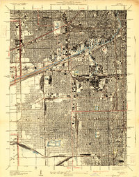
1929 Map of Englewood
USGS Topo · Published 1929About this map
The massive Union Stock Yards and its complex rail network dominate the landscape of the South Side of Chicago during this era of heavy industrialization. This 1926 survey highlights a world defined by transportation, where the Chicago Sanitary and Ship Canal and the older Illinois and Michigan Canal cut through a dense grid of residential streets and industrial tracts. Rail operations are central to the local economy, evidenced by the sprawling Corwith Yards, Clearing Yards, and Rockwell Street Yards.
Find a feature on this map
60 named features on this map. Tap any name to fly to it.
Don’t see what you’re looking for? This feature index may not catch every label — zoom into the map to look around manually.
Map Details
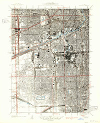
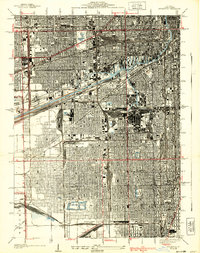
Editions of this 1929 Englewood Map
3 editions found
Other maps of this area

1889 · Chicago
USGS Topo · 1:62,500

1890 · Des Plaines
USGS Topo · 1:62,500

1891 · Chicago
USGS Topo · 1:62,500

1891 · Riverside
USGS Topo · 1:62,500

1892 · Calumet
USGS Topo · 1:62,500

1893 · Calumet
USGS Topo · 1:62,500

1893 · Riverside
USGS Topo · 1:62,500

1894 · Des Plaines
USGS Topo · 1:62,500

1900 · Chicago
USGS Topo · 1:62,500

1900 · Des Plaines
USGS Topo · 1:62,500