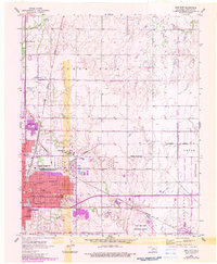
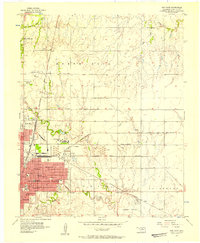
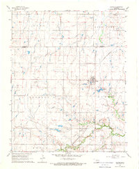
1955 Map of Enid East
USGS Topo · Published 1983About this map
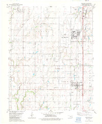
The industrial and educational hub of Enid is captured here during a period of mid-century growth, marked by the prominent presence of Phillips University and the extensive operations of the local Oil Refinery. The urban grid transitions into the surrounding agricultural landscape of Enid Twp and Union, where the Enid Woodring Municipal Airport serves as a critical transportation link near the Skeleton Creek drainage. Purple photorevisions from the early 1980s document the outward expansion of the city over several decades.
Find a feature on this map
54 named features on this map. Tap any name to fly to it.
Don’t see what you’re looking for? This feature index may not catch every label — zoom into the map to look around manually.
Map Details
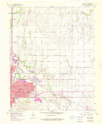
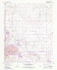
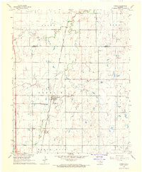
Editions of this 1955 Enid East Map
4 editions found
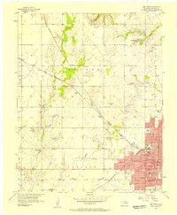
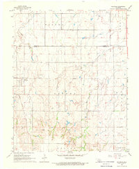
Other maps of this area
1955 · Enid West
USGS Topo · 1:24,000
1955 · Enid East
USGS Topo · 1:24,000

1955 · Enid
USGS Topo · 1:250,000
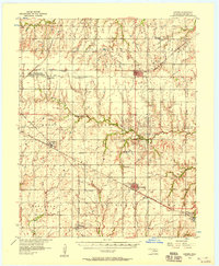
1956 · Garber
USGS Topo · 1:62,500
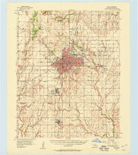
1956 · Enid
USGS Topo · 1:62,500

1958 · Enid
USGS Topo · 1:250,000
1968 · Hillsdale
USGS Topo · 1:24,000
1968 · Hunter
USGS Topo · 1:24,000
1968 · Kremlin
USGS Topo · 1:24,000
1982 · Waukomis
USGS Topo · 1:24,000