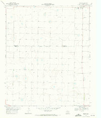
1969 Map of Enochs
USGS Topo · Published 1971About this map
Enochs sits at the northeastern corner of this 1969 survey, representing a concentrated pocket of activity on the high plains of the Texas Panhandle. The landscape is defined by the agricultural industry of the era, marked prominently by a Cotton Gin and a nearby Radio Tower. The terrain is punctuated by numerous small depressions and catchment areas, many of which contain a Well or Wells, illustrating the critical role of groundwater management on these semi-arid lands during the late 1960s.
Find a feature on this map
9 named features on this map. Tap any name to fly to it.
Don’t see what you’re looking for? This feature index may not catch every label — zoom into the map to look around manually.
Map Details
Editions of this 1969 Enochs Map
This is the sole edition of this map. No revisions or reprints were ever made.
Other maps of this area
1954 · Brownfield
USGS Topo · 1:250,000
1958 · Brownfield
USGS Topo · 1:250,000
1962 · Brownfield
USGS Topo · 1:250,000
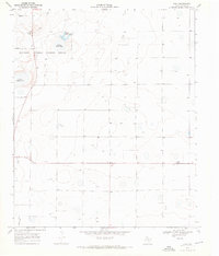
1968 · Bula
USGS Topo · 1:24,000
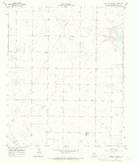
1968 · Three Way School
USGS Topo · 1:24,000
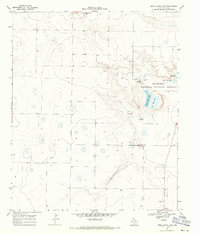
1968 · Upper White Lake
USGS Topo · 1:24,000
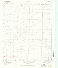
1969 · Maple
USGS Topo · 1:24,000
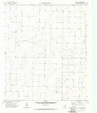
1970 · Morton NW
USGS Topo · 1:24,000
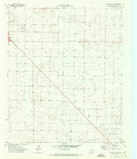
1971 · Whiteface NW
USGS Topo · 1:24,000
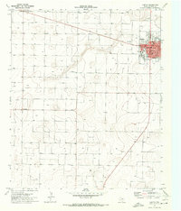
1971 · Morton
USGS Topo · 1:24,000