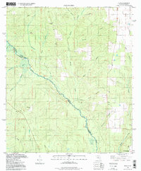
1994 Map of Enon
USGS Topo · Published 1998About this map
The Perdido River forms a winding natural border between Florida and Alabama, defining the western edge of the Florida panhandle. This mid-1990s landscape is characterized by a dense network of tributaries including Brushy Creek, Reedy Creek, and Schoolhouse Branch that feed into the main river channel. The small settlement of Enon sits on the eastern side of the survey area, marked by a local Water Tank.
Find a feature on this map
24 named features on this map. Tap any name to fly to it.
Don’t see what you’re looking for? This feature index may not catch every label — zoom into the map to look around manually.
Map Details
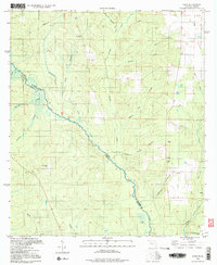
Editions of this 1994 Enon Map
2 editions found
Other maps of this area

1920 · Robertsdale
USGS Topo · 1:62,500

1921 · Muscogee
USGS Topo · 1:62,500

1941 · Muscogee
USGS Topo · 1:62,500

1941 · Robertsdale
USGS Topo · 1:62,500

1941 · Century
USGS Topo · 1:62,500

1942 · Dyas
USGS Topo · 1:62,500

1943 · Robertsdale
USGS Topo · 1:62,500

1943 · Muscogee
USGS Topo · 1:62,500

1943 · Century
USGS Topo · 1:62,500

1944 · Dyas
USGS Topo · 1:62,500