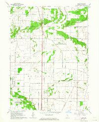
1962 Map of Enos
USGS Topo · Published 1964About this map
The small settlement of Enos and the nearby siding at Conrad serve as the primary hubs along the New York Central Railroad corridor in this section of Newton County. The landscape is defined by an extensive drainage network, where features like Lawler Ditch and Bogus Island Ditch crisscross the flat terrain of McClellan, Lincoln, and Colfax townships. This engineering legacy reflects the historic transformation of Northwest Indiana's marshlands into productive agricultural and managed natural areas.
Find a feature on this map
29 named features on this map. Tap any name to fly to it.
Don’t see what you’re looking for? This feature index may not catch every label — zoom into the map to look around manually.
Map Details
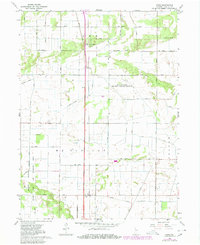
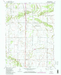
Editions of this 1962 Enos Map
Other maps of this area

1922 · Momence
USGS Topo · 1:62,500

1924 · Momence
USGS Topo · 1:62,500

1935 · Watseka
USGS Topo · 1:48,000

1939 · Watseka
USGS Topo · 1:62,500

1953 · Chicago
USGS Topo · 1:250,000

1953 · Danville
USGS Topo · 1:250,000

1955 · Danville
USGS Topo · 1:250,000

1956 · Danville
USGS Topo · 1:250,000

1957 · Chicago
USGS Topo · 1:250,000

1959 · Schneider
USGS Topo · 1:24,000