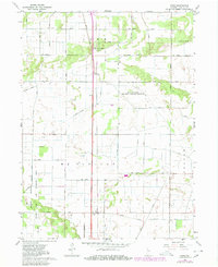
1962 Map of Enos
USGS Topo · Published 1980About this map
Beaver Lake Prairie Chicken Refuge and the expansive marshlands of the Willow Slough and Fish and Wildlife Area anchor this mid-century survey of western Newton County. The landscape is defined by an intensive drainage network designed to manage the wetland terrain, featuring long engineered stretches of Best Ditch, Lawler Ditch, and Redden Ditch. These waterways carve through the townships of McClellan and Colfax, reflecting the region’s transition from wild prairie and lakebed to a structured agricultural and conservation-focused environment.
Find a feature on this map
32 named features on this map. Tap any name to fly to it.
Don’t see what you’re looking for? This feature index may not catch every label — zoom into the map to look around manually.
Map Details
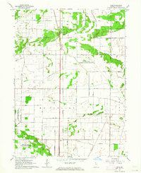
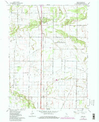
Editions of this 1962 Enos Map
Other maps of this area

1922 · Momence
USGS Topo · 1:62,500

1924 · Momence
USGS Topo · 1:62,500

1935 · Watseka
USGS Topo · 1:48,000

1939 · Watseka
USGS Topo · 1:62,500

1953 · Chicago
USGS Topo · 1:250,000

1953 · Danville
USGS Topo · 1:250,000

1955 · Danville
USGS Topo · 1:250,000

1956 · Danville
USGS Topo · 1:250,000

1957 · Chicago
USGS Topo · 1:250,000

1959 · Schneider
USGS Topo · 1:24,000