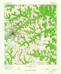
1960 Map of Enterprise
USGS Topo · Published 1964About this map
Enterprise sits at the heart of this 1960s study, showing a city defined by its radial road network and the Atlantic Coast Line railroad. To the northeast, the Fort Rucker Military Reservation occupies a significant portion of the landscape, marking the local impact of the Cold War era. The surrounding terrain is a mix of creek-fed valleys and small settlements like Coppinville and Level Plains Crossroads.
Find a feature on this map
30 named features on this map. Tap any name to fly to it.
Don’t see what you’re looking for? This feature index may not catch every label — zoom into the map to look around manually.
Map Details
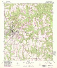
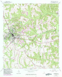
Editions of this 1960 Enterprise Map
3 editions found
Other maps of this area

1942 · Enterprise
USGS Topo · 1:125,000

1948 · Ozark
USGS Topo · 1:62,500

1950 · Ozark
USGS Topo · 1:62,500

1950 · Enterprise
USGS Topo · 1:62,500

1953 · Dothan
USGS Topo · 1:250,000

1954 · Dothan
USGS Topo · 1:250,000

1955 · Dothan
USGS Topo · 1:250,000

1957 · Geneva
USGS Topo · 1:62,500

1957 · Hartford
USGS Topo · 1:62,500

1957 · Bellwood
USGS Topo · 1:24,000