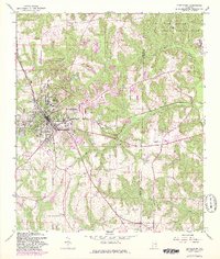
1960 Map of Enterprise
USGS Topo · Published 1981About this map
The city of Enterprise serves as the focal point for this survey, showcasing its growth and development in the Wiregrass region during the mid-to-late twentieth century. The map illustrates a landscape transitioning from rural agricultural patterns to suburban expansion, evidenced by the clustered settlements of Coppinville and Level Plains. The presence of the Fort Rucker Military Reservation in the northeast quadrant highlights the significant military influence on the local geography and economy during this era.
Find a feature on this map
29 named features on this map. Tap any name to fly to it.
Don’t see what you’re looking for? This feature index may not catch every label — zoom into the map to look around manually.
Map Details
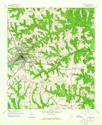
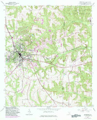
Editions of this 1960 Enterprise Map
3 editions found
Other maps of this area

1942 · Enterprise
USGS Topo · 1:125,000

1948 · Ozark
USGS Topo · 1:62,500

1950 · Ozark
USGS Topo · 1:62,500

1950 · Enterprise
USGS Topo · 1:62,500

1953 · Dothan
USGS Topo · 1:250,000

1954 · Dothan
USGS Topo · 1:250,000

1955 · Dothan
USGS Topo · 1:250,000

1957 · Geneva
USGS Topo · 1:62,500

1957 · Hartford
USGS Topo · 1:62,500

1957 · Bellwood
USGS Topo · 1:24,000