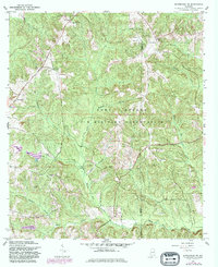
1960 Map of Enterprise NE
USGS Topo · Published 1981About this map
Fort Rucker U S Military Reservation occupies a massive portion of this landscape, creating a distinct boundary between the managed military lands and the surrounding rural communities of Coffee and Dale Counties. This survey reflects a period of modernization, where several Landing Strip locations appear alongside older landmarks of the agricultural South. The terrain is defined by a dense network of waterways, including Kiser Mill Creek and Steep Head Creek, which historically supported local industry and travel.
Find a feature on this map
21 named features on this map. Tap any name to fly to it.
Don’t see what you’re looking for? This feature index may not catch every label — zoom into the map to look around manually.
Map Details
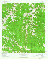
Editions of this 1960 Enterprise NE Map
2 editions found
Other maps of this area

1942 · Enterprise
USGS Topo · 1:125,000

1948 · Ozark
USGS Topo · 1:62,500

1948 · Brundidge
USGS Topo · 1:62,500

1950 · Ozark
USGS Topo · 1:62,500

1950 · Enterprise
USGS Topo · 1:62,500

1950 · Brundidge
USGS Topo · 1:62,500

1953 · Dothan
USGS Topo · 1:250,000

1954 · Dothan
USGS Topo · 1:250,000

1955 · Dothan
USGS Topo · 1:250,000

1960 · Brundidge SE
USGS Topo · 1:24,000