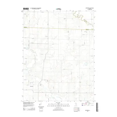
2015 Map of Enterprise
USGS Topo · Published 2015About this map
Enterprise serves as a central hub in this Southern Illinois landscape, where the meandering Elm River and the Little Wabash River dictate the rural layout across Clay and Wayne Counties. The map reveals a high density of small family and community burial grounds, such as Wright Cem, Laird Cem, and Zif Cem, which are often the most enduring physical markers of nineteenth-century settlement patterns in this region.
Find a feature on this map
41 named features on this map. Tap any name to fly to it.
Don’t see what you’re looking for? This feature index may not catch every label — zoom into the map to look around manually.
Map Details
Editions of this 2015 Enterprise Map
This is the sole edition of this map. No revisions or reprints were ever made.
Other maps of this area

1943 · Albion
USGS Topo · 1:62,500

1946 · Albion
USGS Topo · 1:62,500

1948 · Fairfield
USGS Topo · 1:62,500

1948 · Flora
USGS Topo · 1:62,500

1949 · Olney
USGS Topo · 1:62,500

1949 · Flora
USGS Topo · 1:62,500

1958 · Belleville
USGS Topo · 1:250,000

1962 · Belleville
USGS Topo · 1:250,000

1970 · Clay City
USGS Topo · 1:24,000

1970 · Enterprise
USGS Topo · 1:24,000