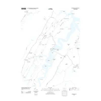
2013 Map of Entriken
USGS Topo · Published 2013About this map
Raystown Lake dominates the central landscape of this Huntingdon County corridor, its meandering shoreline creating a complex geography of peninsulas and sheltered coves. The map documents a recreational and institutional landscape, marked by numerous camps such as the YMCA Camp, Camp Reynolds, and Church Camp, alongside extensive public access points like the James Creek Access Area and Rothrock Campground.
Find a feature on this map
79 named features on this map. Tap any name to fly to it.
Don’t see what you’re looking for? This feature index may not catch every label — zoom into the map to look around manually.
Map Details
Editions of this 2013 Entriken Map
This is the sole edition of this map. No revisions or reprints were ever made.
Other maps of this area

1900 · Everett
USGS Topo · 1:62,500

1901 · Huntingdon
USGS Topo · 1:62,500

1902 · Everett
USGS Topo · 1:62,500

1902 · Hollidaysburg
USGS Topo · 1:62,500

1903 · Hollidaysburg
USGS Topo · 1:62,500

1904 · Huntingdon
USGS Topo · 1:62,500

1930 · Broad Top
USGS Topo · 1:62,500

1933 · Broad Top
USGS Topo · 1:62,500

1953 · Pittsburgh
USGS Topo · 1:250,000

1954 · Pittsburgh
USGS Topo · 1:250,000