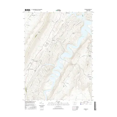
2016 Map of Entriken
USGS Topo · Published 2016About this map
Raystown Lake dominates the central landscape of this Huntingdon County study, where the inundated valley of the Raystown Branch creates a complex shoreline around Piney Ridge and Allegrippis Ridge. The map reveals a deeply etched topography of high ridges and narrow valleys, such as Little Valley and Great Trough Creek, which have shaped settlement patterns for generations. Small communities like Entriken, Russellville, and Cherrytown are situated along the lower slopes and valley floors, often marked by their local cemeteries such as Entriken Cemetery and Brumbaugh Cemetery. Cultural history is evident at Paradise Furnace near the eastern edge, a reminder of the region's early industrial roots. The presence of numerous family-named landmarks, including the Plummer Family Cemetery, provides significant data for researchers tracing the local lineage of the area's farming and iron-working families.
Find a feature on this map
106 named features on this map. Tap any name to fly to it.
Don’t see what you’re looking for? This feature index may not catch every label — zoom into the map to look around manually.
Map Details
Editions of this 2016 Entriken Map
This is the sole edition of this map. No revisions or reprints were ever made.
Other maps of this area

1900 · Everett
USGS Topo · 1:62,500

1901 · Huntingdon
USGS Topo · 1:62,500

1902 · Everett
USGS Topo · 1:62,500

1902 · Hollidaysburg
USGS Topo · 1:62,500

1903 · Hollidaysburg
USGS Topo · 1:62,500

1904 · Huntingdon
USGS Topo · 1:62,500

1930 · Broad Top
USGS Topo · 1:62,500

1933 · Broad Top
USGS Topo · 1:62,500

1953 · Pittsburgh
USGS Topo · 1:250,000

1954 · Pittsburgh
USGS Topo · 1:250,000