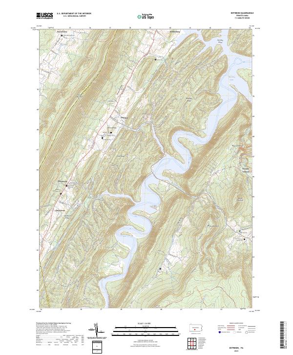
2023 Map of Entriken
USGS Topo · Published 2023About this map
Raystown Lake dominates the central topography of this Huntingdon County region, its winding waters carving through a series of prominent parallel heights. The rugged terrain is defined by Warrior Ridge, Piney Ridge, and the formidable Tussey Mountain, which separates Woodcock Valley from the surrounding lowlands. This landscape is marked by historic industry and early settlements, most notably the site of Paradise Furnace to the east and the village of Entriken tucked near the ridges.
Find a feature on this map
104 named features on this map. Tap any name to fly to it.
Don’t see what you’re looking for? This feature index may not catch every label — zoom into the map to look around manually.
Map Details
Editions of this 2023 Entriken Map
This is the sole edition of this map. No revisions or reprints were ever made.
Other maps of this area

1900 · Everett
USGS Topo · 1:62,500

1901 · Huntingdon
USGS Topo · 1:62,500

1902 · Everett
USGS Topo · 1:62,500

1902 · Hollidaysburg
USGS Topo · 1:62,500

1903 · Hollidaysburg
USGS Topo · 1:62,500

1904 · Huntingdon
USGS Topo · 1:62,500

1930 · Broad Top
USGS Topo · 1:62,500

1933 · Broad Top
USGS Topo · 1:62,500

1953 · Pittsburgh
USGS Topo · 1:250,000

1954 · Pittsburgh
USGS Topo · 1:250,000