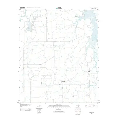
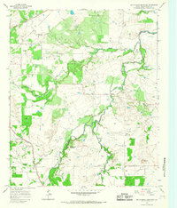
2012 Map of Eolian
USGS Topo · Published 2012About this map
Mankins Mill and Eolian anchor this portion of Stephens County, where the landscape is defined by the drainage systems of the Brazos River basin. Tributaries like Plum Br, Brushy Cr, and Bear Br carve through the terrain, feeding into larger bodies such as Hubbard Cr Reservoir and Hubbard Cr Lake. The area reflects a rural economy balanced between water management and energy extraction, most notably evidenced by the Ibex Oil Field in the western reaches of the quadrangle. Several family or community landmarks provide genealogical touchpoints, including Brushy Cem, Plum Branch Cem, and Battle Creek Cem. The road network, comprised largely of farm-to-market routes like FM-576 and FM-1853, connects these scattered settlements and industrial sites, illustrating the modern rural infrastructure of North Central Texas.
Find a feature on this map
36 named features on this map. Tap any name to fly to it.
Don’t see what you’re looking for? This feature index may not catch every label — zoom into the map to look around manually.
Map Details
Editions of this 2012 Eolian Map
This is the sole edition of this map. No revisions or reprints were ever made.
Other maps of this area
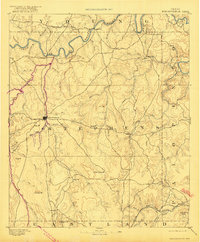
1890 · Breckenridge
USGS Topo · 1:125,000
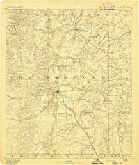
1892 · Albany
USGS Topo · 1:125,000
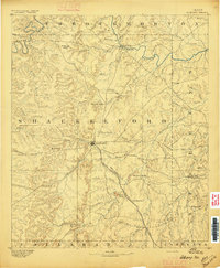
1893 · Albany
USGS Topo · 1:125,000

1954 · Abilene
USGS Topo · 1:250,000

1958 · Abilene
USGS Topo · 1:250,000
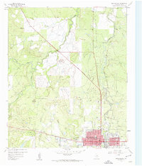
1958 · Breckenridge
USGS Topo · 1:24,000
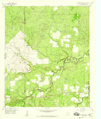
1958 · Edwards Branch
USGS Topo · 1:24,000
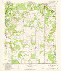
1961 · Buck Mountain
USGS Topo · 1:24,000
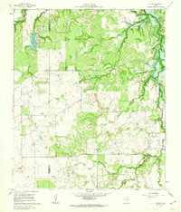
1961 · Eolian
USGS Topo · 1:24,000
1965 · McCatherine Mountain
USGS Topo · 1:24,000