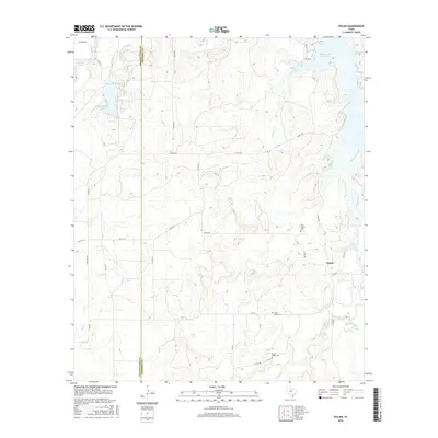
2016 Map of Eolian
USGS Topo · Published 2016About this map
The settlement of Eolian anchors this rural landscape along the border of Shackelford and Stephens counties. Water management and drainage define the geography, dominated by the expansive Hubbard Cr Reservoir and smaller impoundments like Lake de la Fosse and Elliot Lake. Numerous seasonal tributaries, including Plum Br, Brushy Cr, and Battle Cr, carve through the terrain, suggesting a reliance on these water sources for ranching and local agriculture.
Find a feature on this map
39 named features on this map. Tap any name to fly to it.
Don’t see what you’re looking for? This feature index may not catch every label — zoom into the map to look around manually.
Map Details
Editions of this 2016 Eolian Map
This is the sole edition of this map. No revisions or reprints were ever made.
Other maps of this area

1890 · Breckenridge
USGS Topo · 1:125,000

1892 · Albany
USGS Topo · 1:125,000

1893 · Albany
USGS Topo · 1:125,000

1954 · Abilene
USGS Topo · 1:250,000

1958 · Abilene
USGS Topo · 1:250,000

1958 · Breckenridge
USGS Topo · 1:24,000

1958 · Edwards Branch
USGS Topo · 1:24,000

1961 · Buck Mountain
USGS Topo · 1:24,000

1961 · Eolian
USGS Topo · 1:24,000

1965 · McCatherine Mountain
USGS Topo · 1:24,000