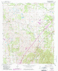
1974 Map of Epes West
USGS Topo · Published 1987About this map
Sumterville and McCainville anchor this section of Sumter County, where the rural landscape is defined by the winding paths of Turkey Creek and Jones Creek. The 1974 topography, updated with revisions from the mid-1980s, highlights a region deeply rooted in its local geography, shown through an extensive network of family and community burial grounds such as McInnis Cem, Henagan Cem, and the hyphenated Eskeridge-Pettigrew Cem.
Find a feature on this map
27 named features on this map. Tap any name to fly to it.
Don’t see what you’re looking for? This feature index may not catch every label — zoom into the map to look around manually.
Map Details
Editions of this 1974 Epes West Map
2 editions found
Other maps of this area

1929 · Epes
USGS Topo · 1:48,000

1932 · Epes
USGS Topo · 1:62,500

1953 · Meridian
USGS Topo · 1:250,000

1957 · Meridian
USGS Topo · 1:250,000

1965 · Meridian
USGS Topo · 1:250,000
1970 · Boligee
USGS Topo · 1:24,000

1970 · Gainesville
USGS Topo · 1:24,000
1973 · Geiger
USGS Topo · 1:24,000

1974 · Boyd
USGS Topo · 1:24,000
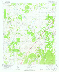
1974 · Epes West
USGS Topo · 1:24,000